DJI Phantom 4 PPK Teodrone


Our all-purpose weapon for accurate and efficient photogrammetric PPK survey

  • Based on the DJI P4P V2 Pro
  • Integrated GNSS chip AGNSS with L1/L2 and L5 bands
  • Setup Time <3 minutes
  • Compatible with all DJI P4P flight planning apps
  • Fix solution up to 60 km from base


Manufacturer: DJI Enterprise, Vanavara Digital

Description

The DJI Phantom 4 PPK Teodrone is our top-of-the-line survey drone that caters for all your drone survey needs.
Wether you want to survey small construction sites of a few hectares or large forest areas of several 100s of hectares, this is our choice for high-accuracy and high-effiency mapping and surveying.
Based on the renowned DJI P4P V2, the Ashot timing module and the AGNSS L1/L2 GNSS board, this drone combines cm-accuracy, fast deployment and little training requirements in a well-proven system.


The control interface of the quadcopter is simple and intuitive. You can choose between the flight planning app of your liking. We recommend MapPilot Business or Litchi, depending on the missions that you are envisaging.


The flight time of the quadrocopter is up to 26 minutes, which allows performing a significant amount of APS in one flight: 120 hectares at 5-6 cm / pix or 10-12 kilometers of flight line.
Up to 2250 hectares per 1 daylight day or up to 3500 hectares if the work is performed by two Teodrones, which is a record figure in this class of geodetic quadrocopters – https://telegra.ph/Odin-Den-Teodrona-08-09


Thanks to the built-in GNSS L1 / L2 receiver, it requires only 1 control point to adjust to the focal length. Any other GCP taken can be used  for accuracy validation.
Thanks to the camera shutter sync module – Ashot which transmits the time tag to the GNSS L1 / L2 card without delay, you can get the exact coordinates of the centers of photographs (up to 2 cm in XY and Z).


ADVANTAGES
20 Mpx camera
Up to 26 minutes flight time
Up to 60 km distance for fix solution between base and drone
Only 3 minutes deployment time
AGNSS L1/L2 board for high accuracy and fast fixes.
Robust DJI technology
Compatability with all DJI flight-planning apps for the Phantom 4 Models

Visual and acoustic confirmation of 3D fix and ready-to-take off


REMOVABLE GNSS SPIRAL ANTENNA
Our Spiral GNSS L1 or L1/L2 antenna is highly sensitive, mounted in the center of the drone and quickly removable.


ASHOT BOARD


AShot controls DJI can bus and receives the information of the camera settings like shutter speed etc, exposure start and exposure end.
That all allows AShot to give timemark in the middle of exposure without delay.
TEOBOX SOFTWARE

The best pre-processing software for calculating the offset of the antenna relative to the camera when the copter is tilted.


TEOBOARD

GNSS signal distribution board from the spiral antenna to the GNSS board and DJI GPS module.
An unique solution that allows you to have a constant high-quality signal of the GPS and GLONASS satellite constellations at 5/10/20 Hz. Get high quality RAW satellite measurement data always, regardless of the weather and time!


PPK Processing
The great advantage of the PPK Teodrone is that it comes with great software to help you ppk (post-process-kinematic) your flight data AND apply the correct time tags on your images. You don’t need any to subscribe to any PPK service and the process is simple and intuitive.


For the post-processing, we use the Teobox Bot which can PPK and PPP your GNSS data, convert between different formats etc. Simply upload your rover (drone) and base station data, the bot will compute the accurate flight positions.


One Day of Theodron

August 09, 2020

#OneDayTheodrona

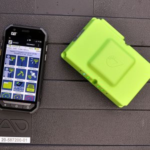
Theodron became the daily assistant to every surveyor associated with the AFS. I will tell you about one day of work with Theodron, or rather with two Theodron.

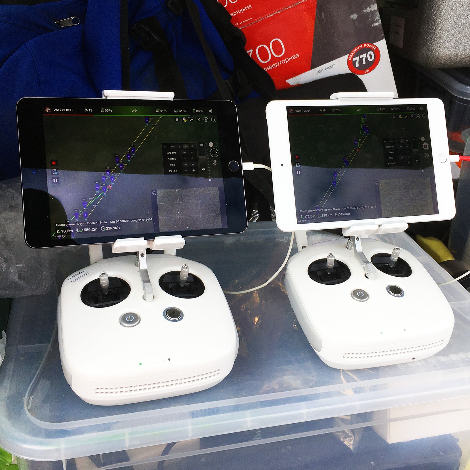
Once our team had a thought – what if we fly two Theodrons at the same time? One operator can cope with this task without problems, but with properly prepared routes.

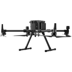
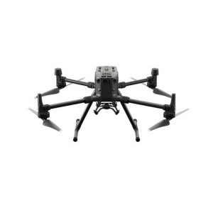
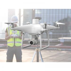
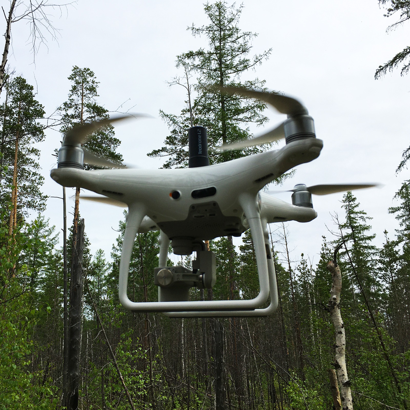
For that trip, I assembled 2 Theodrons from the DJI Phantom 4 pro V2. V2 differs from its previous version in greater performance, more resistant to wind (flies and removes APS in the wind of 5-12 m / s), cruising speed 11 m / s, versus 9 m / s for a conventional prowl.

The routes were made so that the first copter flew in one direction, the second flew in the opposite direction. The length of each departure is up to 9.5 km, which provides a good supply of battery for unforeseen circumstances, such as headwind, the need for the copter to “hang” on a pause while the operator lands another copter, as well as saving battery resource – battery charge when landing with such a length flight remains about 25-35%.

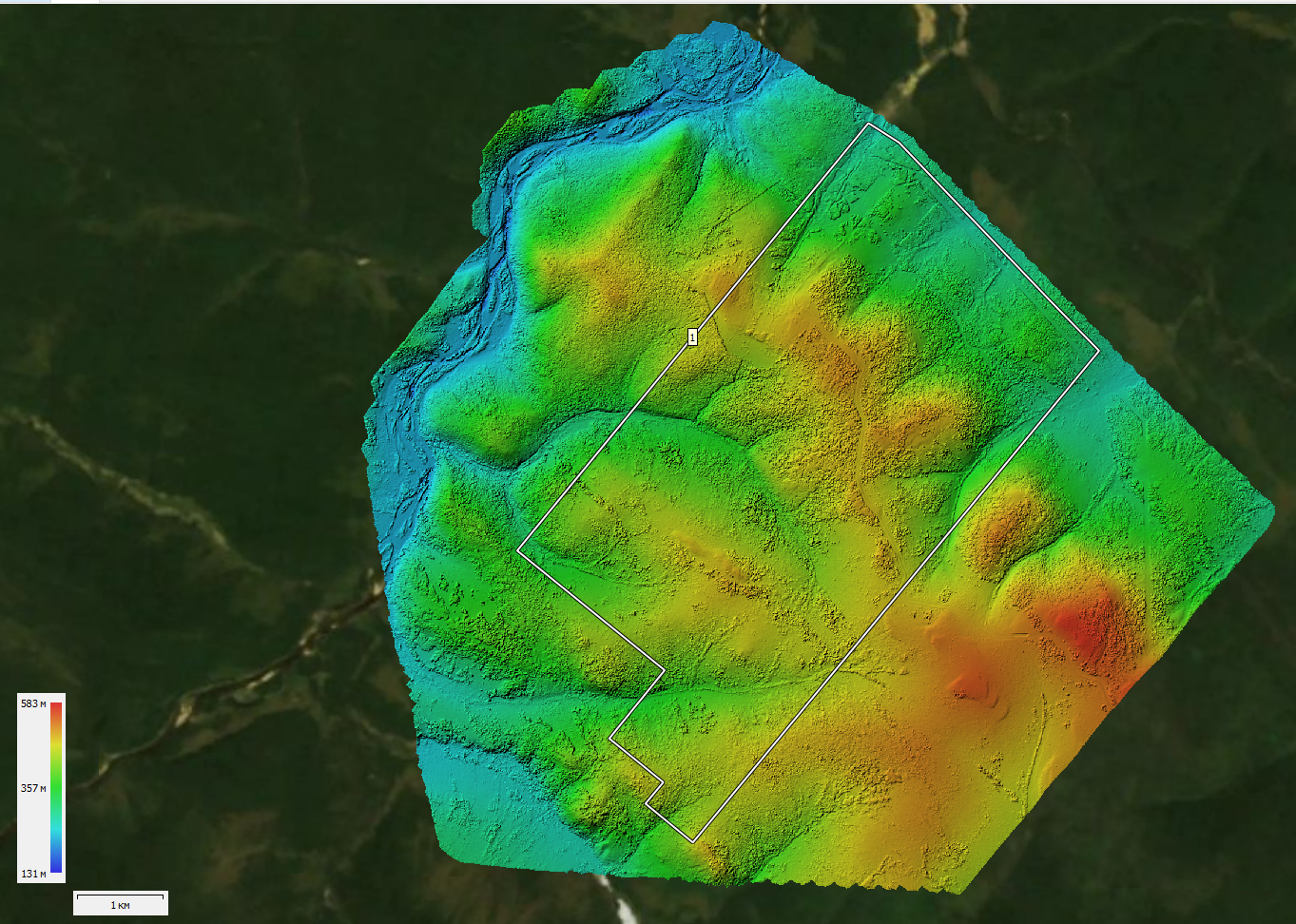
The shooting was needed no worse than 6 cm / px under the M2000, so the flights were on the relief at an altitude of 160-200 meters, which provides 5-6 cm per pixel. The difference in flight altitudes at this facility is from minus 50 to plus 200 meters. The terrain is hilly. Dense forest. The road is only in the center of the object. I flew from it.

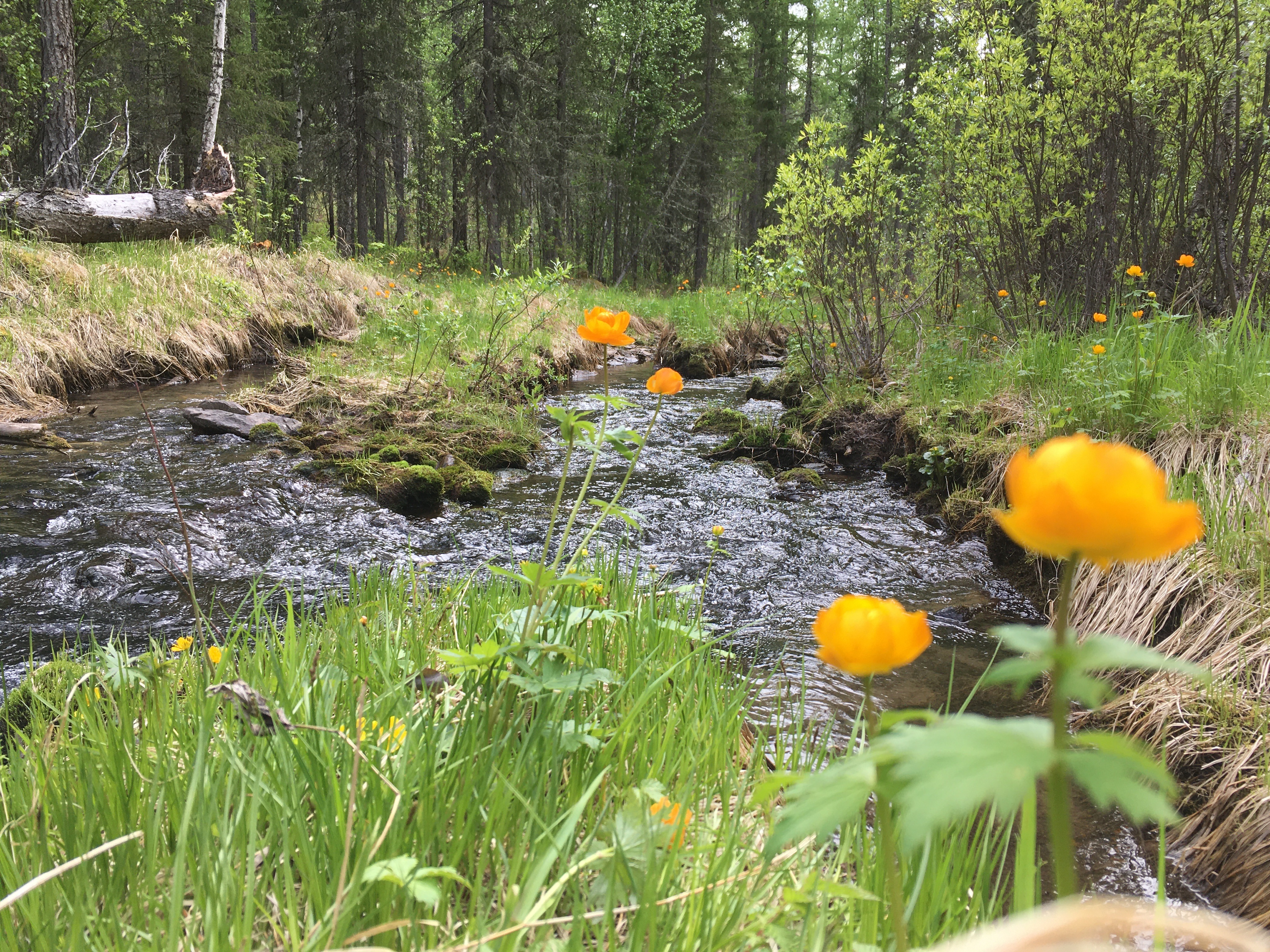
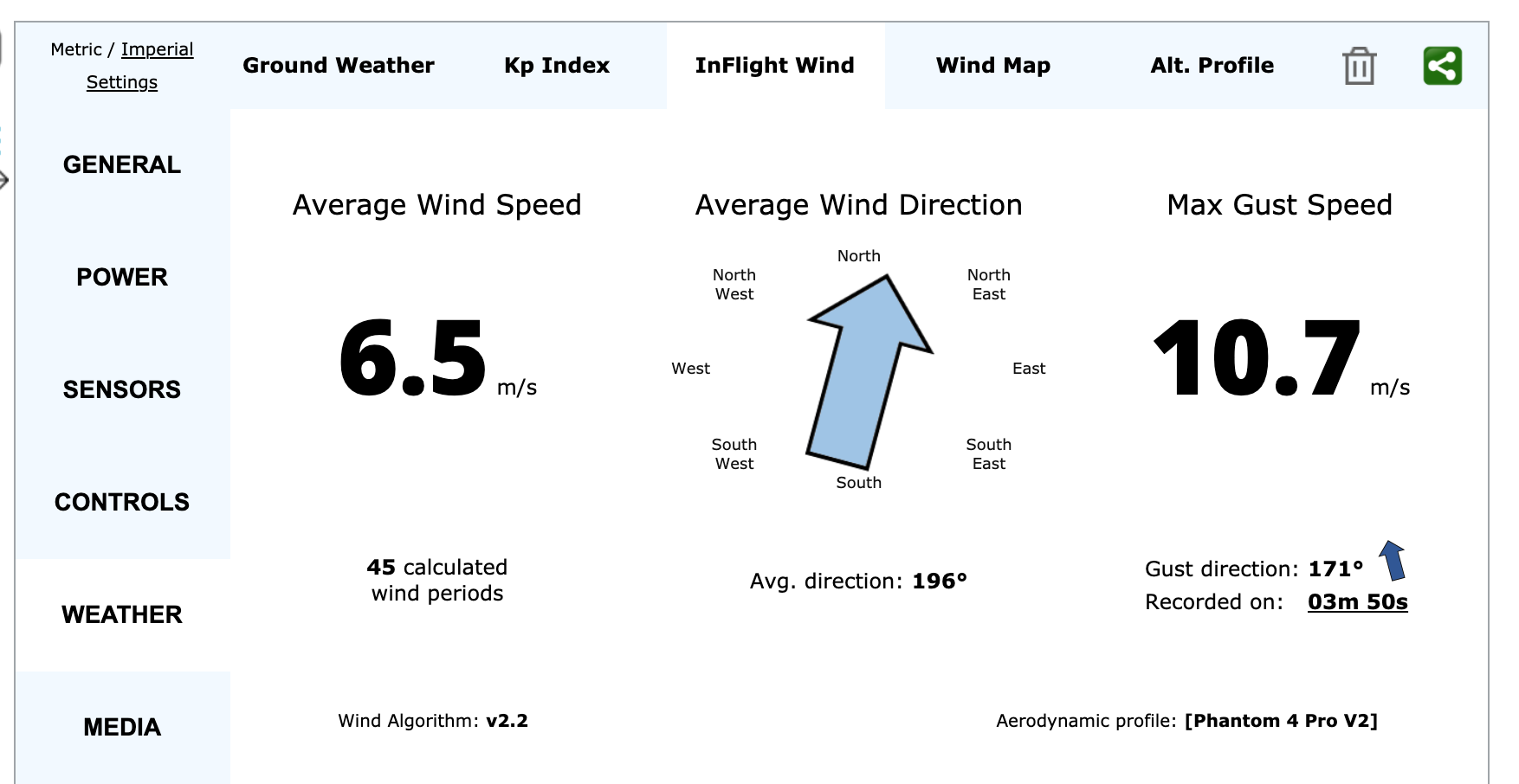
This was the second day of that trip. Sunny weather, wind 5-10 m / s, taiga, birds are singing. The beauty.

Somewhere in the taiga with Theodrons

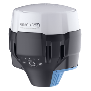
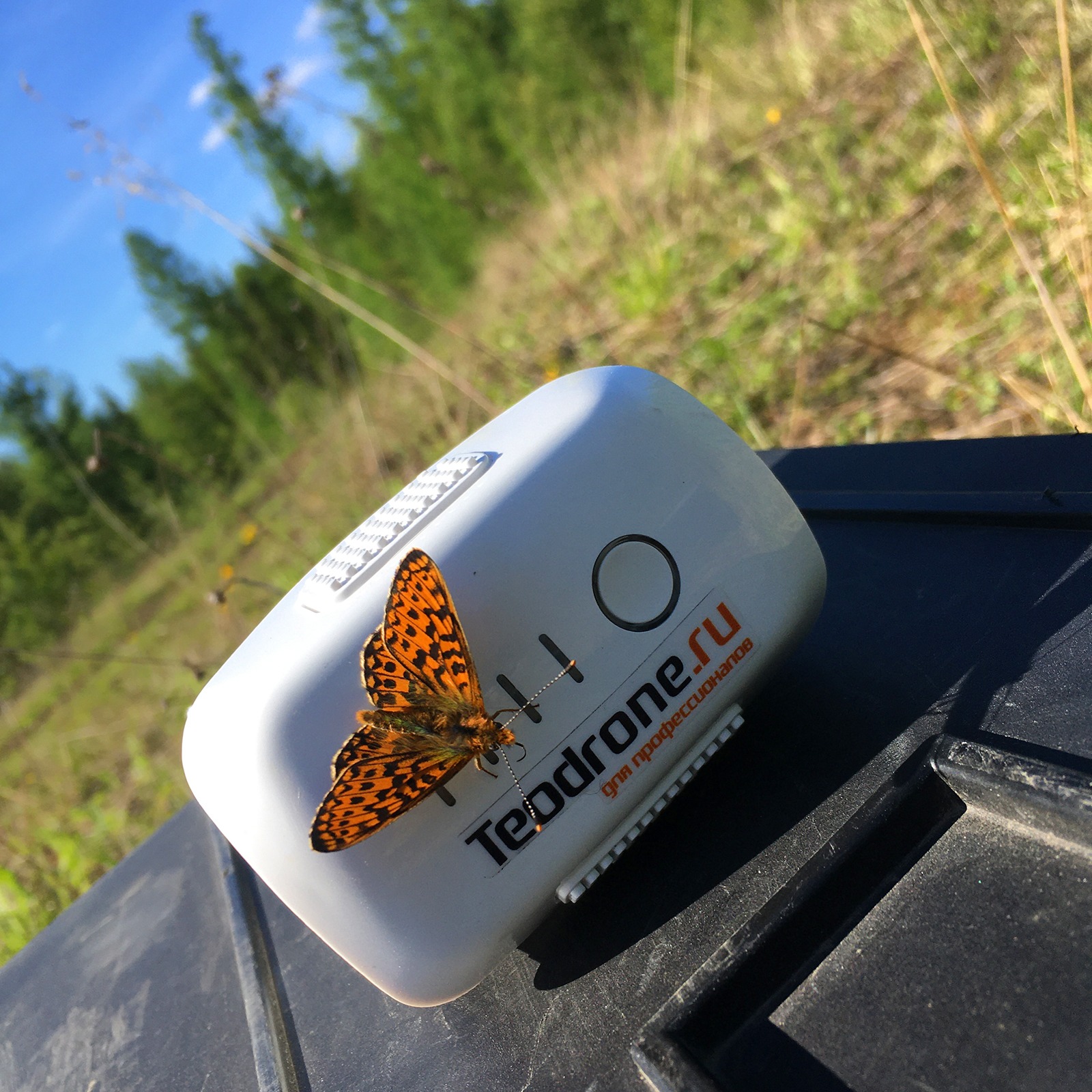
The working day began at 7:30 am with the establishment of the South base at a known point ten kilometers from the flight site. Thanks to AGNSS L1 / L2 installed in my Theodrons, the fix solution is obtained within 1.5 minutes after turning on the drone. This allows you not to waste time on “standing” for 3-4 minutes after turning on to accumulate GNSS data, as is the case with the L1 solution.

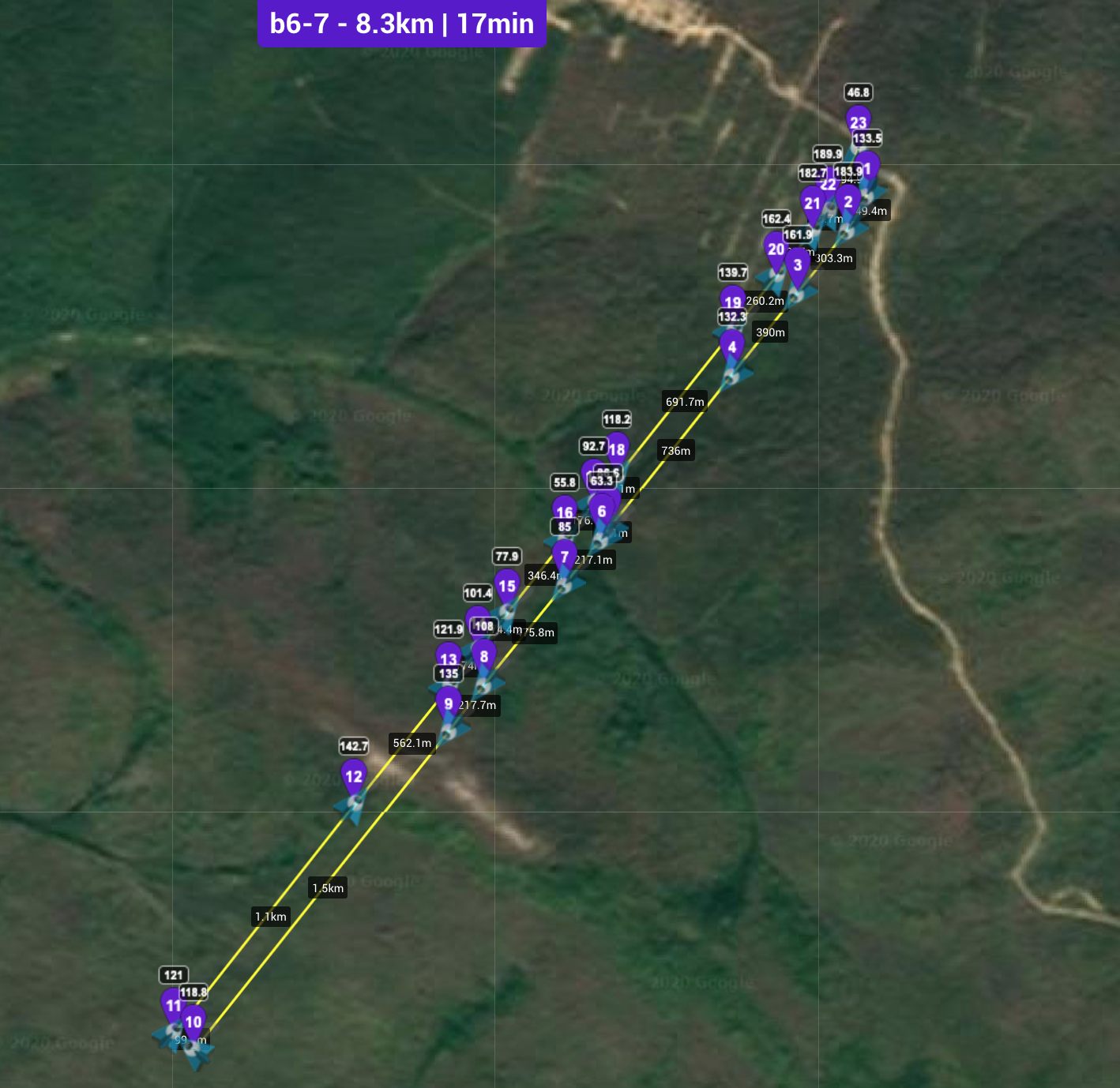
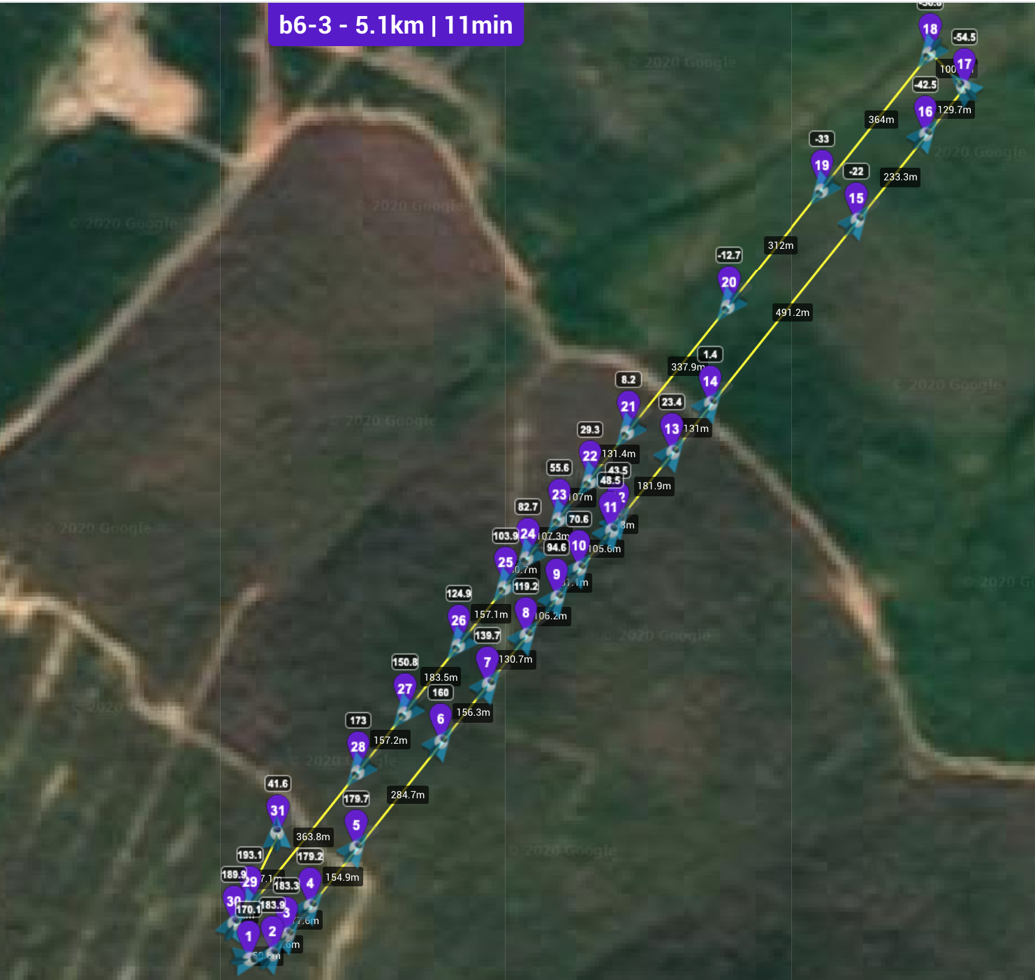
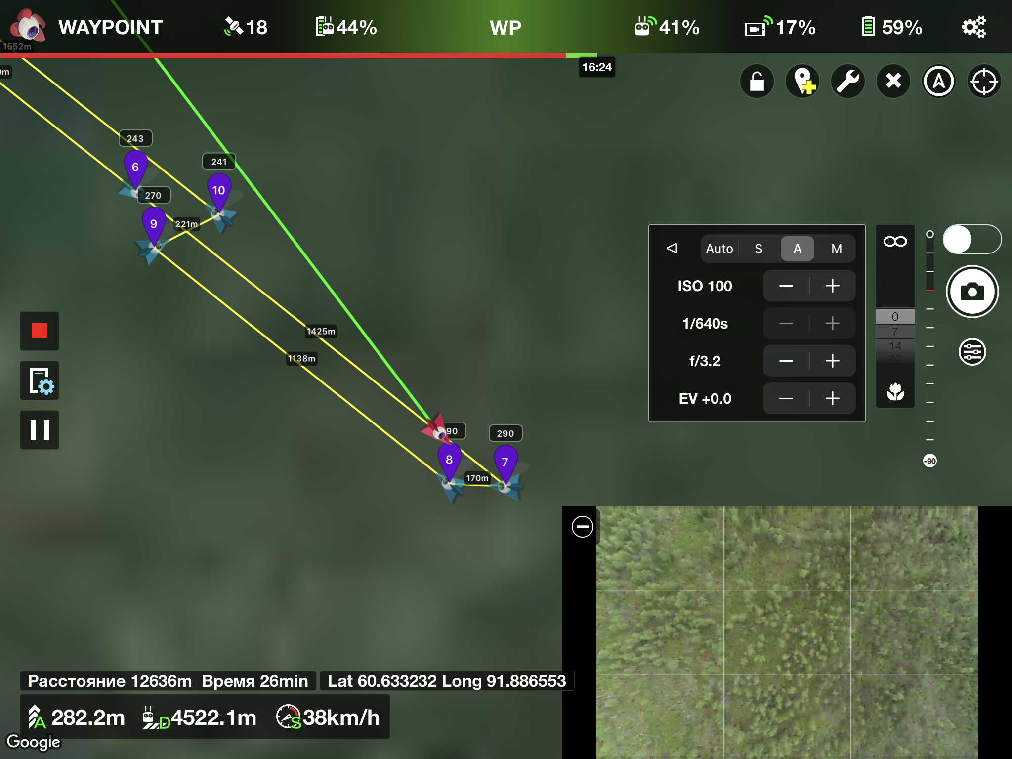
The flight algorithm for two drones is as follows: first I turn on the first copter, check its settings, lift it into the air, at this time turn on the second copter. And while the second one is initializing, the first copter goes on the route. At this time, I raise the second copter into the air and it goes on a route in the opposite direction. Below are 2 screenshots with routes in lychee:

The first copter goes on a longer route
The second copter flies on a shorter route

Thus, in 17-18 minutes of flight, the copters add up to 13-17 running kilometers and land with 25-45% battery remaining.

In the end, I’ll try to summarize with dry numbers:

2470 hectares were filmed in 7 hours of work by one operator. No race for the area and no tearing of the copters. Everything is calm, usually.

Dedicated contour – 2470 hectares, removed in 7 hours of work by one operator

Wind from 5 to 10 m / s with gusts up to 12 m / s. This is a breeze to operate the DJI Phantom 4 pro V2, which powers the Teodrone L2.

The average wind was 5-10 m / s

Link to the log of one flight from that day: https://app.airdata.com/share/qsUQcp

I had 18 batteries with me, which is an excess. In this flight mode, it is enough to have 12 batteries for 2 copters + 4 charges.

Working with DJI drones, the operator does not get tired physically and mentally. All settings are saved from flight to flight, there is no need to constantly control something and be distracted. Personally, I have a rest when the copters are in flight.

The new B2 provides decent radio communication even in the forest. The copters flew 4 km away and I could observe their telemetry and video images even at such a distance.

The range of radio video communication of the new 4 pro v2 in the forest is 4.5 km

It is not difficult to calculate that shooting in this mode for 10 hours of operation will cover 2470/7 x 10 = 3520 hectares. Moreover, this area, which is taken for processing. The actual filmed area is slightly larger. We measure the area not along the boundaries of the RPF, but according to the centers of the extreme images.

The elevation difference of 250 meters significantly reduced the drone performance. The survey of flat terrain will be much more efficient and the figure of 3520 hectares for 10 hours of flights will become 4000 hectares, which is comparable to the performance of VTOL.

Loyal friend of Terano on good TA rubber
Even butterflies believe that Theodron is the best topodron

All successful flights and soft landings.

Vendor Information

  • Address:
  • No ratings found yet!