Home
")
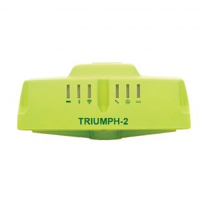
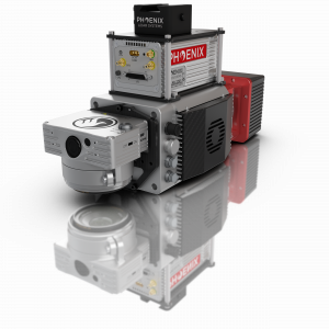
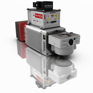
Including lifetime PPK-processing service and
online point-cloud hub
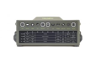
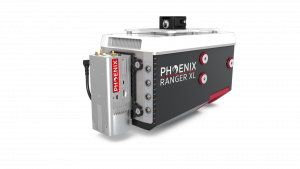
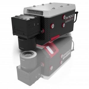
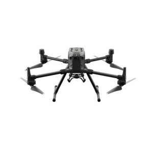
in the most difficult survey scenarios
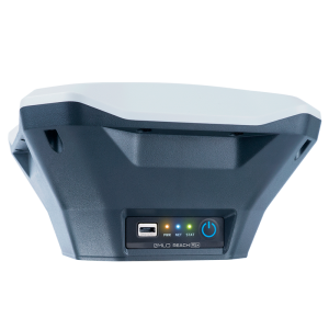
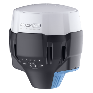
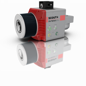
For surveying, mapping and navigation.
Comes with mobile app
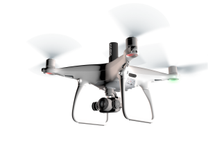
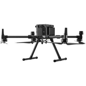
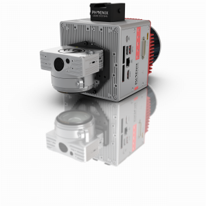
For surveying, mapping and navigation.
Comes with a mobile app
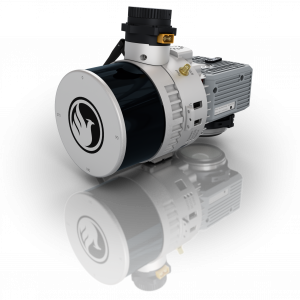
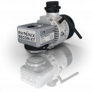
Best Selling Items

26Feb
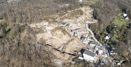
LiDAR Vermessung Steinbruchgelände
Für die Erstellung von Geländemodellen unter Vegetation ist LiDAR die 1. Wahl Um Geländemodelle unter Vegetation zu erstellen, kommt man um... read more
11Mar
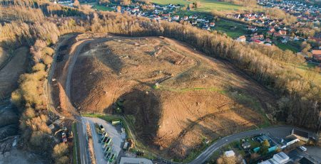
Drohnenvermessung Deponie für enercity
7 Hektar - Auflösung 1.5 cm - absolute Genauigkeit XY < 2, Z <3 cm - DJI PH4 PPK Teodrone Kurz... read more
11Mar
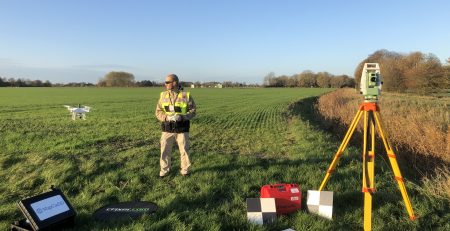
1 Tag – 60 ha: Vermessung Baufeld Umspannwerk
Taking the guess out of earthworks calculation - for Siemens Energy AG Erdarbeiten sind kostenspielig und schlagen bei Großprojekten, wie die... read more